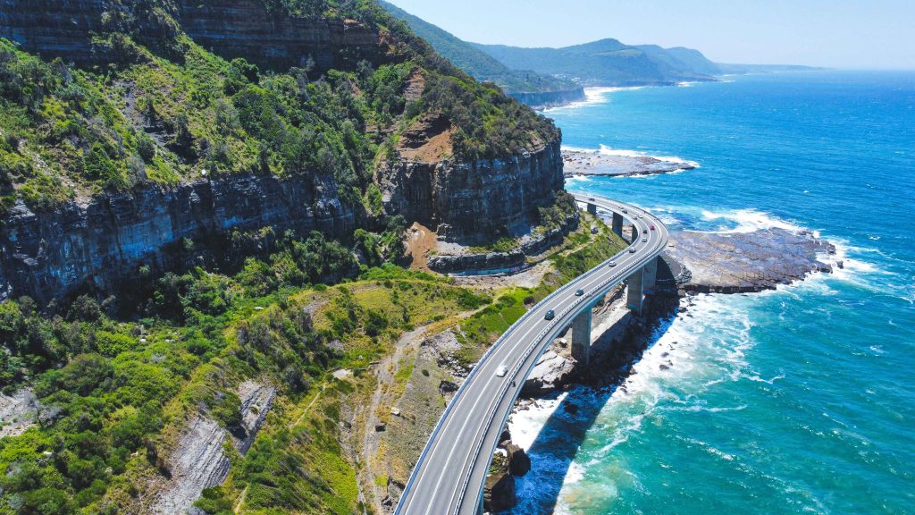

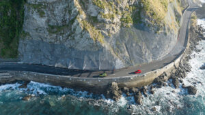




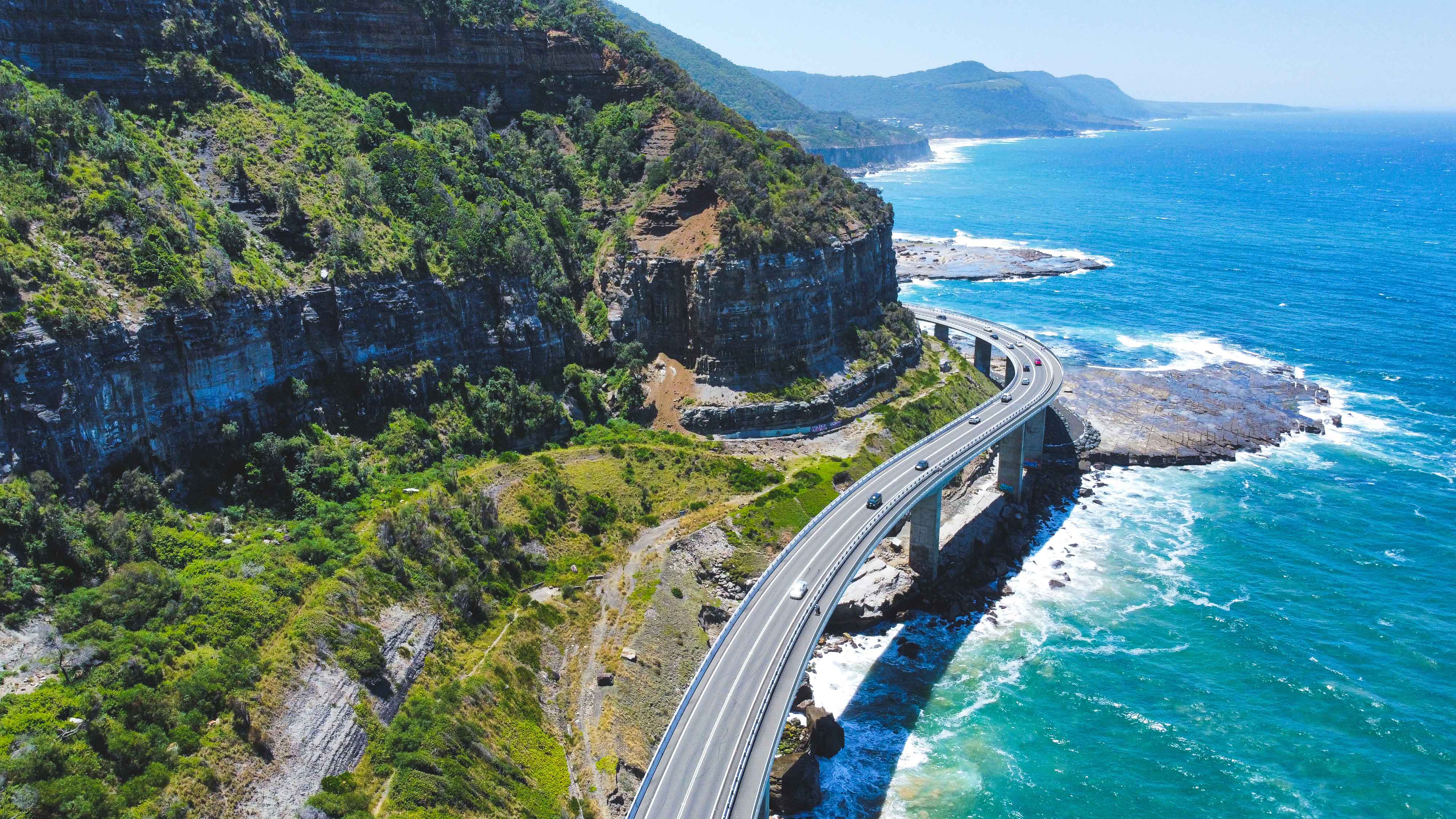
Across Australia, coastal communities are navigating increasing challenges as erosion and instability accelerate with rising sea levels and climate change. By enhancing our understanding of how cliffs evolve and identifying where people, assets, and infrastructure are at greatest risk, we empower communities to plan for the future and strengthen resilience along Australia’s developed coastlines.
Understanding Coastal Cliffs and Erosion Risks
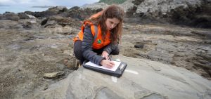
Tonkin + Taylor’s team of coastal engineers, engineering geologists, and risk assessment specialists use advanced techniques in engineering geology, geotechnical analysis, coastal geomorphology, and GIS mapping to deliver comprehensive coastal cliff hazard assessments. Using these innovative methods, we provide actionable insights into cliff erosion, slope stability, and long-term coastal management solutions to help communities adapt and enhance climate resilience.
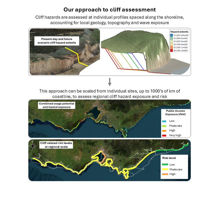
Our coastal cliff risk assessment methods identify hazards at both the top (cliff crest) and base (cliff toe) of cliffs. At the cliff crest, we assess erosion, slope instability, and asset vulnerability for current and future conditions, predicting when infrastructure and property may be at risk. At the cliff base, we identify potential cliff collapse, rockfall, and landslide areas to improve public safety and guide land use planning.
Connecting hazards with public exposure
Understanding how and where people use the coastline is a critical part of comprehensive coastal risk assessment. Our team has developed data-driven methods to assess public exposure at both the cliff crest and cliff toe, linking coastal cliff hazard information with patterns of recreational and residential coastal use to pinpoint high-risk areas.
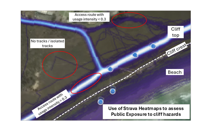
At a regional scale, GIS methods are used to assess public exposure along longer stretches of coastline and identify where risk may be concentrated. At a local scale, we have developed methods that use activity data from Strava Heatmaps to identify patterns of recreational use within identified hazard areas and assess the extent of public exposure and risk.
Applying our experience across Australia
Tonkin + Taylor has delivered coastal cliff assessments at a range of scales to support planning and adaptation, including a statewide assessment, in collaboration with the Department of Energy, Environment and Climate Action (DEECA), for the Victorian Coastal Cliff Assessment. Regional assessment includes working with the Great Ocean Road Coast and Parks Authority (GORCAPA) to assess cliff hazards across 250 km of coastline for the Great Ocean Road Regional Coastal Adaptation Plan.
Our work includes local coastal cliff assessments across Victoria and New South Wales to support coastal hazard risk management and planning decisions. We are expanding our services into Queensland and South Australia, with support from local offices and coastal engineering experts in Brisbane and Adelaide.
By connecting an understanding of coastal cliff processes with information about how people use these environments, we help coastal managers, planners, and councils make informed decisions about hazards and future adaptation to support resilience across Australia.
Discover how our capabilities and research on coastal cliffs can support your next project.
Contact our coastal team to discuss your needs