


NZ Geotechnical Society (NZGS) 22nd Symposium 2025 Auckland
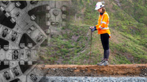
Te Ara o Te Ata – the Mt Messenger Bypass is a 5.2 km long, new section of State Highway 3 located approximately 50 km north of New Plymouth. It improves road safety by bypassing the narrow, steep and winding section over Parininihi (Mt Messenger).
A key component of the project involved the construction of approximately 2.5 km of fill embankments up to 6 m high across flat, low-lying areas at both the northern and southern ends of the route. These embankments traverse deep, soft, highly compressible soils of up to approximately 25 m in thickness, necessitating ground improvement techniques to reduce settlements and meet the long-term performance requirements.
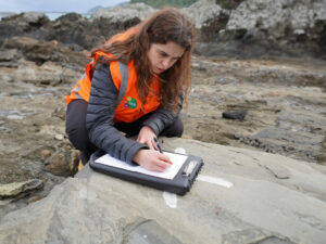
Unmanned aerial vehicles (UAVs), automated construction monitoring, and real-time data were used to support design refinement and construction. A trial embankment was built to obtain field data and update geotechnical parameters. These parameters informed a revised ground improvement approach with reduced surcharge height, fewer reinforcement layers, and removal of wick drains. The Observational Method was applied during construction to verify performance and support decisions on surcharge removal.
This approach resulted in a significant reduction in the embankment footprint, and a decrease of approximately 160,000 m³ of fill material. It reduced construction duration, construction cost, and environmental impacts while meeting performance requirements. The use of digital tools and field data enabled design adjustments and reduced reliance on conservative assumptions. The method provided a practical approach for embankment construction on soft ground integrating modern digital tools and techniques.