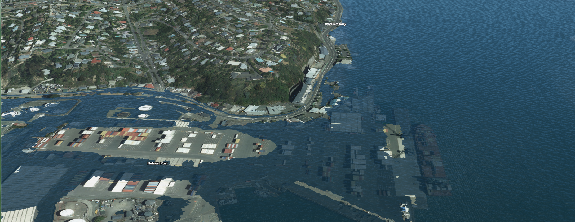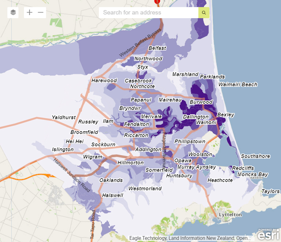











Tonkin + Taylor’s Geospatial Solutions team helps organisations make faster, more confident decisions through GIS, spatial analysis, digital engineering, and data visualisation. Explore projects across infrastructure, transport, water, energy, environmental, climate resilience, and land development, and see how we combine geospatial expertise with engineering, science, automation, AI, and software development to solve complex challenges.
From drone (UAV) surveys, photogrammetry, and LiDAR to interactive web maps, field data capture, GeoBIM, digital twins, asset management, and spatial analytics, our multidisciplinary team delivers practical solutions that turn complex data into actionable insights. Whether supporting planning, design, construction, operations, monitoring, or long-term asset management, we help clients reduce effort and risk and improve outcomes.